
Precision is everything in surveying. Whether you’re mapping a construction site, setting property boundaries, or working on geospatial projects, the right GNSS receiver can determine the accuracy and reliability of your results. I’ve spent years analyzing surveying tools and solutions, and I know that not all GNSS receivers perform at the same level. That’s why I always recommend researching equipment before making a decision. One resource worth checking out is this guide on GNSS receivers for surveying accuracy, which provides valuable insights into some of the best options available.
With so many choices on the market, it’s important to evaluate factors such as signal tracking capabilities, durability, and integration with surveying software. Let’s break down what you should look for and why Harper Surveying is a reliable provider for professional-grade equipment.
Key Features to Consider in GNSS Receivers
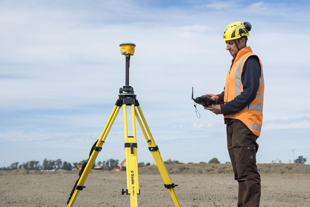
Surveyors need GNSS receivers that deliver precise, real-time positioning data. The best models support RTK (Real-Time Kinematic) correction, which significantly improves accuracy down to the centimeter level. Some advanced receivers also offer PPK (Post-Processed Kinematic) functionality, allowing surveyors to process data later for even greater precision.
Modern GNSS receivers should also support multiple satellite constellations, including GPS, GLONASS, Galileo, and BeiDou. This ensures reliable positioning even in areas with obstructions like buildings or trees. Dual-frequency and multi-frequency receivers further enhance accuracy by mitigating signal interference and reducing errors caused by atmospheric conditions.
Durability is another critical factor. Surveyors often work in challenging environments, so GNSS receivers must withstand harsh conditions. Models with an IP67 rating provide dustproof and water-resistant protection, ensuring they hold up in extreme weather. Long battery life and connectivity features such as Bluetooth, Wi-Fi, and USB ports are also necessary for efficient field operations.
Why Harper Surveying Stands Out
Harper Surveying is a trusted provider of professional surveying equipment. They offer a range of GNSS receivers designed for accuracy, efficiency, and long-term reliability. What sets them apart is their commitment to selecting only high-performance products that meet the demands of surveyors, construction professionals, and engineers.
One standout option they provide is the Trimble R980 GNSS system, which features ProPoint GNSS technology for top-tier accuracy in any environment. This is essential for professionals who require reliable data capture in challenging conditions. The Trimble R750 GNSS modular receiver is another excellent choice, offering flexible positioning solutions across multiple industries.
For those looking for a complete mobile field solution, Harper Surveying supplies the Leica CS20 LTE Field Controller. Its robust design and intuitive touchscreen enhance productivity and simplify data collection. They also carry high-resolution 3D laser scanners, such as the Z+F Imager 5010C and Faro Focus 3D X330 HDR, both of which provide exceptional scanning accuracy.
The Value of Expert Support
Choosing the right GNSS receiver isn’t just about specifications—it’s also about having access to expert guidance. Harper Surveying has been supplying surveying tools since 1999, and their experience in the industry makes them a valuable resource for professionals who need informed recommendations. Their team understands the importance of accuracy and helps customers select the best equipment based on specific project needs.
Another advantage of working with Harper Surveying is their wide selection of robotic total stations, rotary laser levels, and data controllers. Their focus on precision and innovation ensures that surveyors get the most reliable tools available. By offering equipment that integrates seamlessly with industry-standard software like Trimble Access and Leica Captivate, they make the entire surveying process more efficient.
Final Thoughts
A high-quality GNSS receiver is essential for ensuring surveying accuracy, and making the right choice can improve efficiency and reduce costly errors. Whether you need an advanced RTK system, a durable field controller, or a top-tier 3D scanner, Harper Surveying offers a selection of professional-grade solutions backed by years of industry expertise. Their product lineup is designed to meet the highest accuracy standards, making them a go-to provider for serious professionals.